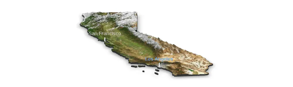
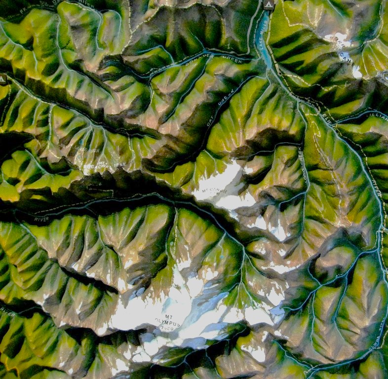
High quality maps adjusted to your specifications.
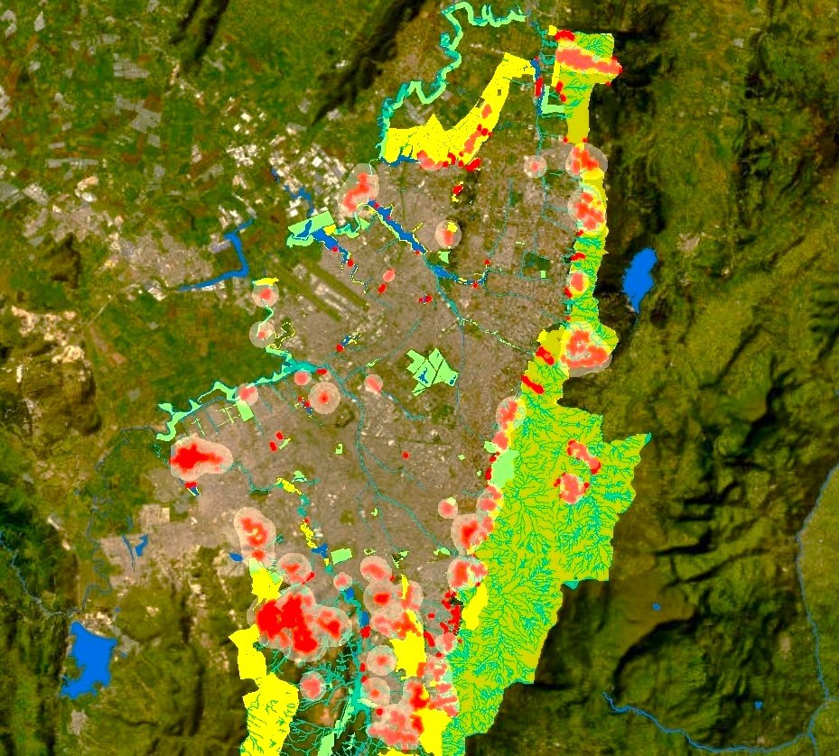
Multivariate analyses at different spatial and temporal scales, including social, environmental and other variables.
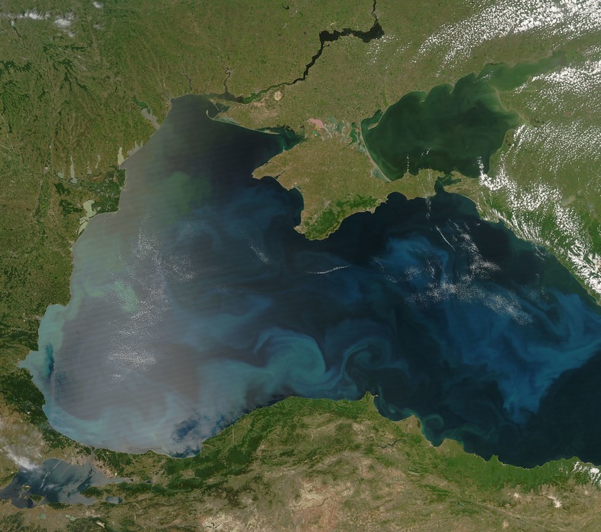
Applied solutions using satellite imagery.
Interactive, intuitive geographical web applications.